Hi All,
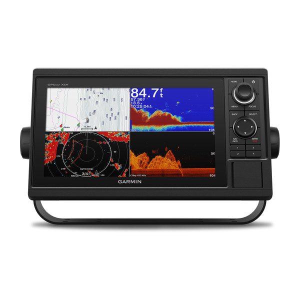
Looking for some input/recommendations for a GPS/Sonar/Chart plotter for 2004 1801 CC which I recently went in on with a friend.
I'll/we'll be fishing the lower Delaware River, lower Schuylkill River, the Delaware Bay, Chesapeake Bay and the bays, estuaries, and coastal waters along New Jersey.
My question is for fishing these types of areas do I need chart plotting capabilities?
In the relatively shallow waters where we'll be fishing would side view scanning be more beneficial than down view scanning?
Ant other input or suggestions would be greatly appreciated!
Thanks


